Khyber Pakhtunkhwa
Nathia Gali
A cool Galiyat hill station near Abbottabad, known for pine forests, Mushkpuri Top, the Pipeline Track and views of Kashmir and the Pir Panjal range.
- Region
- Khyber Pakhtunkhwa
- Altitude
- 2,500 m
- Best time
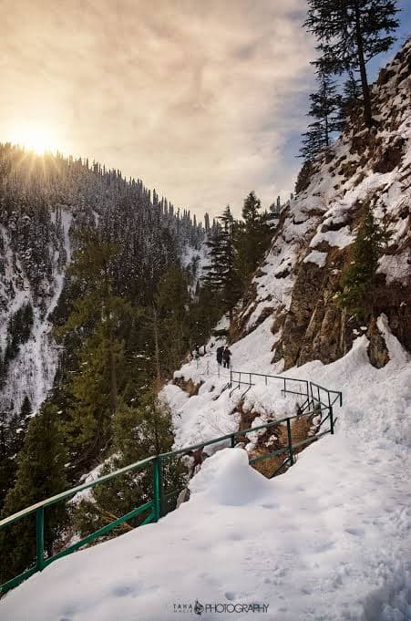
- April – October for hiking; December – February for snow
Weather
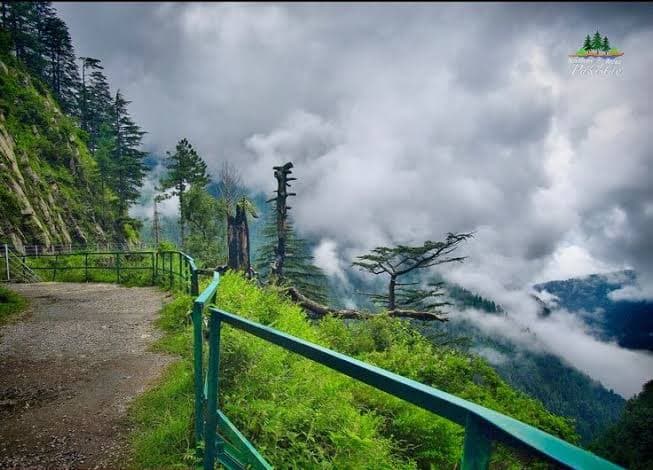
Pleasant summers (12–25°C) with cool evenings. Winters are cold and snowy, and monsoon brings rain and fog that can hide the views.
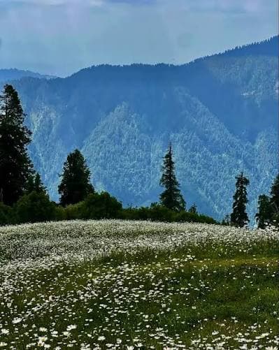
Nathia Gali is one of the most popular hill stations in the Galiyat region, set in dense pine and fir forest about 2.5 to 3 hours from Islamabad. Its cool air, green slopes and walking trails make it a favorite for hikers and families.
The area is best known for two easy-to-moderate hikes. Mushkpuri Top is a summit trek with wide views of the Pir Panjal range and, on clear days, the Kashmir mountains. The Pipeline Track is a gentle forest walk linking Dunga Gali and Ayubia along an old water pipeline.
Nathia Gali also has comfortable hotels, viewpoints and quiet forest paths, and is easy to combine with Murree, Ayubia and Thandiani.
Highlights
- ◆Mushkpuri Top trek
- ◆Pipeline Track forest walk
- ◆Dunga Gali
- ◆Ayubia National Park
- ◆Pine forest viewpoints
- ◆Snowfall in winter
How to reach
Drive from Islamabad or Rawalpindi via Murree Expressway or Abbottabad to Nathia Gali in about 2.5 to 3 hours. Dunga Gali, the start of both hikes, is a few minutes before Nathia Gali.
Questions
How far is Nathia Gali from Islamabad?
About 2.5 to 3 hours by road, depending on traffic and weather.
Does Nathia Gali get snow?
Yes, usually from December to February.
Can I do Mushkpuri and the Pipeline Track in one trip?
Yes, with an overnight stay, since each takes most of a day.
Is it suitable for beginners?
The Pipeline Track is easy. Mushkpuri is moderate and needs basic fitness.